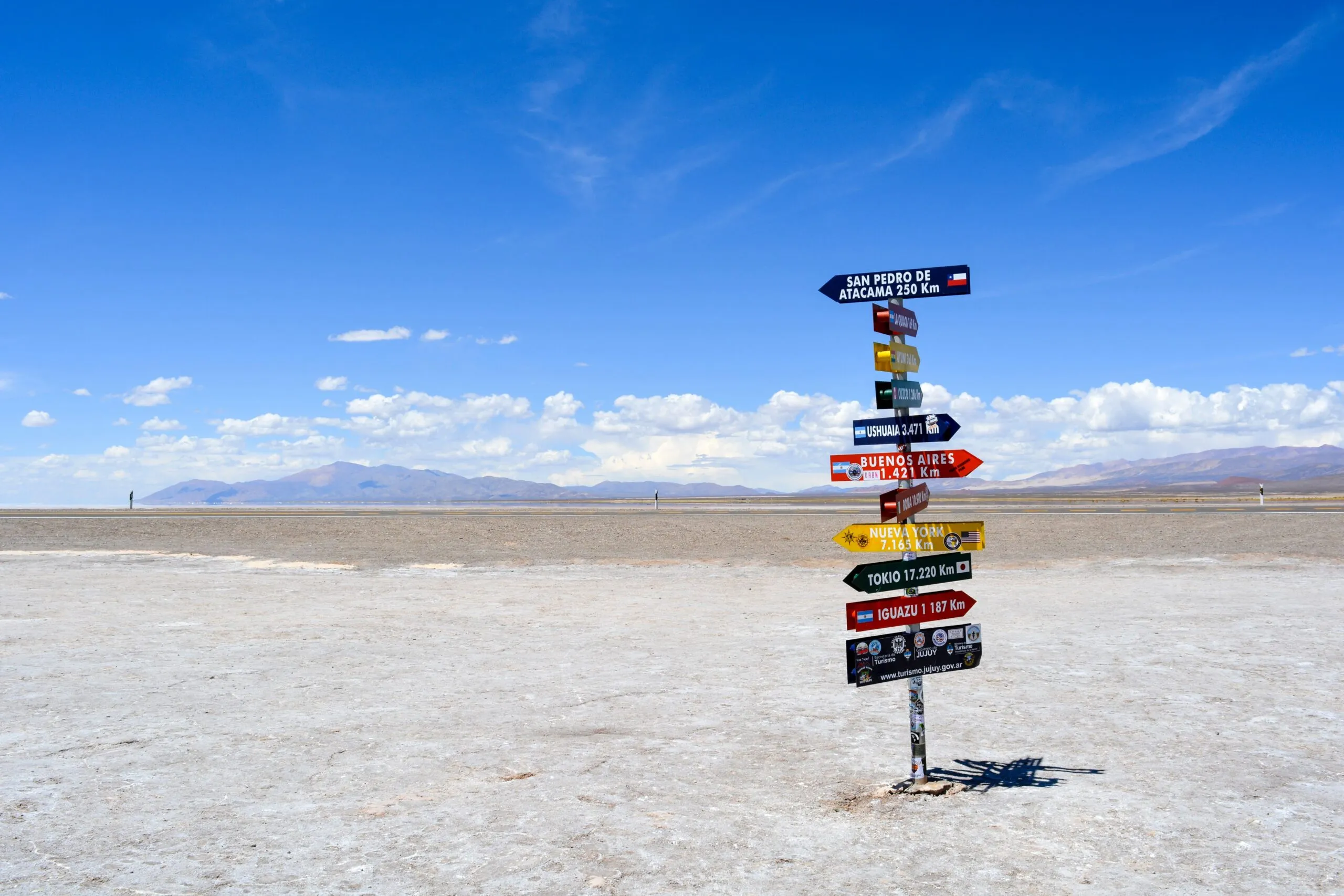
Argentina, covering a land area of 2,780,400 km2 (1,073,518 sq mi), is situated in southern South America and shares borders with Chile to the west across the Andes; Bolivia and Paraguay to the north; Brazil to the northeast; Uruguay and the South Atlantic Ocean to the east; and the Drake Passage to the south.
The total length of its land borders is 9,376 km (5,826 mi), while the coastal border along the Río de la Plata and South Atlantic Ocean measures 5,117 km (3,180 mi).

The highest point in Argentina is Aconcagua in the Mendoza province, reaching 6,959 m (22,831 ft) above sea level, making it the highest point in the Southern and Western Hemispheres.
On the other hand, the lowest point is Laguna del Carbón in the Santa Cruz province, lying at −105 m (−344 ft) below sea level. This also marks the lowest point in the Southern and Western Hemispheres, as well as the seventh lowest point globally.
The northernmost point is located at the confluence of the Grande de San Juan and Mojinete rivers in Jujuy province, while the southernmost point is Cape San Pío in Tierra del Fuego province. The easternmost point is northeast of Bernardo de Irigoyen, Misiones, and the westernmost point is within Los Glaciares National Park in Santa Cruz province.

The maximum distance from north to south is 3,694 km (2,295 mi), and from east to west, it is 1,423 km (884 mi).
Argentina boasts several major rivers, including the Paraná, Uruguay, Paraguay, Salado, Negro, Santa Cruz, Pilcomayo, Bermejo, and Colorado. These rivers flow into the Argentine Sea, an extensive area of the Atlantic Ocean over the Argentine Shelf, which is characterized by an unusually wide continental platform.
The waters of the Argentine Sea are influenced by two significant ocean currents: the warm Brazil Current and the cold Falklands Current.
